
Dan

Rainfall Forecast From One Week Out
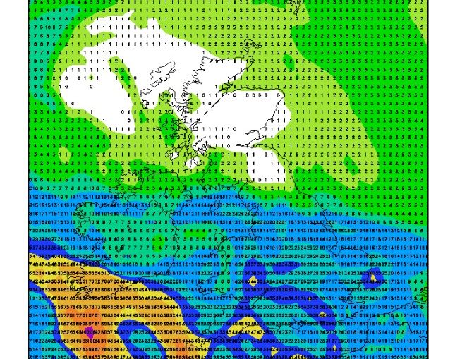
A breakdown of settled conditions looks to be arriving in approximately one week - the cause being the north and western progress of Hurricane Erin into an extratropical cyclone that will shuffle up our weather. What kind of rainfall might this bring? See below for the accumulated rainfall forecast through Thursday,
Video: Fast Forecast – Wednesday to Sunday

Video: Tuesday’s Look Ahead – ECMWF 6-Week Outlook

Video: Tuesday’s Rapid Update (19/8/2025)
Beautiful Satellite Imagery of Low Cloud
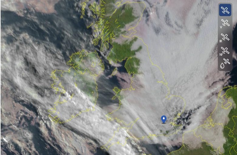
One of my favorite parts about being a meteorologist is perusing satellite imagery for clues about the current state of the atmosphere. This morning's satellite image had some impressive features: see the image below from sat24.com. Notice the interesting cloud in northeast England and east Scotland - almost looks like arms
