
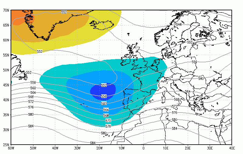
The latest ECMWF 46-day run shows signs of a slight improvement in conditions during the final quarter of April, although this is rather a weak signal. We can't show the charts here (due to licensing) but here's what the model indicates. 6th to 13th April Agrees with other models keeping a trough to
Month: April 2016
Video: Fast Forecast – Wednesday to Friday

Video: Tuesday’s Look Ahead

Temperatures rising after the cooler hit this week
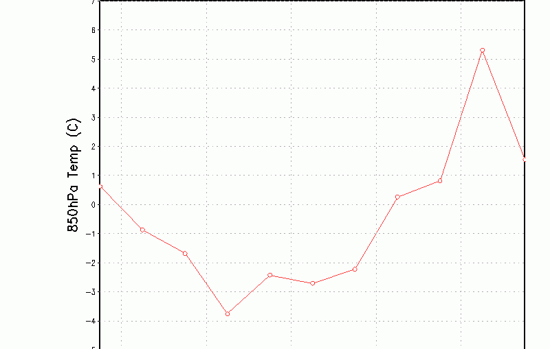
After the weather-shock of Wednesday and Thursday with colder temperatures for all, including a bitter wind-chill, there are signs of things picking up once again. The 10-day forecast temperature graph nicely shows the dip this week and into there weekend, before we start to see milder air returning early in the
Tuesday gets better as the day wears on
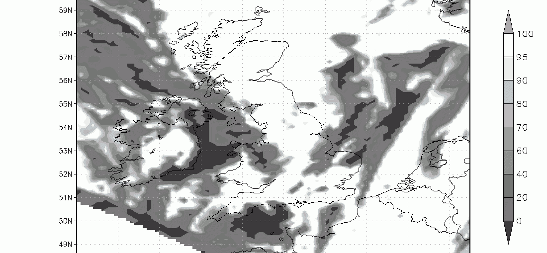
Video: Fast Forecast – Tuesday to Thursday
Video: Mondays Look Ahead – Summer & Winter Analogue Ideas
Video: 2-Week Planner (Updated 4/4/16)

Potential for thunder, hail & heavy showers today
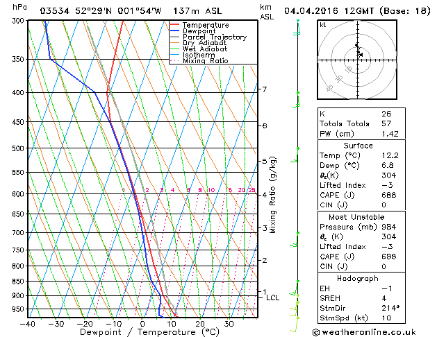
Classic skew-t forecast for this afternoon for Birmingham showing the threat of some very large cumulonimbus clouds with the potential for some very heavy rain. Notice the red temperature line and blue dewpoint line coming together indications lots of moisture available in the atmosphere. Look at the grey forecast parcel line
Tuesday still looks best day of the week
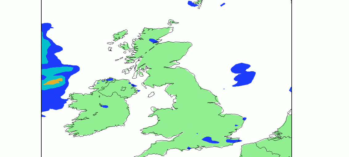
As you plan your week ahead, tomorrow (Tuesday) still looks to be the driest day for most. There will be some morning rain in Scotland, but this slowly clearing north. Damp too in the cloud across much of northern England and the Midlands with some drizzle over high ground. Elsewhere mostly dry with