
Month: July 2016

Video: 2-Week Planner (13/7/16)

Three weather questions for the coming week
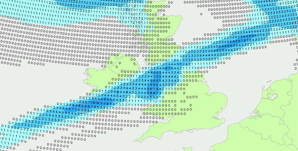
Okay, this mornings conundrums.... 1. How much rain Saturday? As a cold front moves south overnight into Saturday, bringing outbreaks of rain to Scotland, Ireland and northern England ... (chart below shows 1am to 7am, totals) ... how active is that front by the time it reaches Wales, central and southern England? Here's the
ECMWF 46-day July & August
The ECMWF 46-day makes for interesting reading, but remember, this is the output from just one model. This is not out official forecast. Here's what it says ... 18th July to 25th July Higher than average heights to the south of the UK with lower than normal heights to the north. The westerly jet
Video: Fast Forecast – Wednesday to Sunday

Video: Tuesdays Look Ahead – Improving & better August
Saturday Rain Condundrum
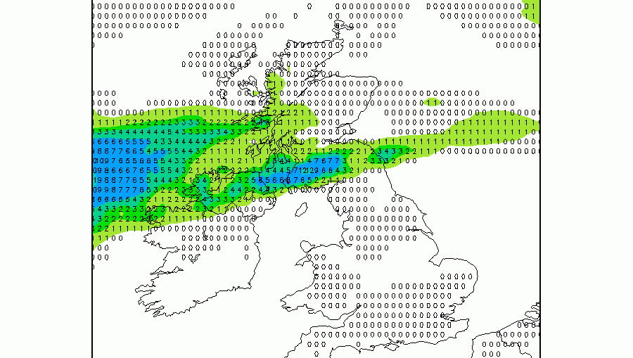
The drier window opens again? As you were!
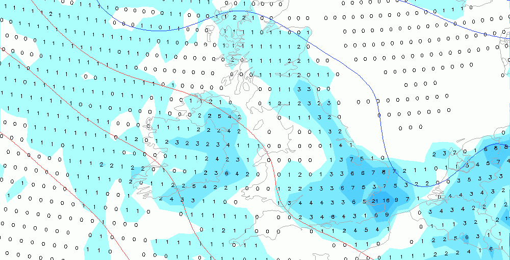
Video: Fast Forecast – Tuesday to Saturday
Latest rain ideas for Friday & early Saturday
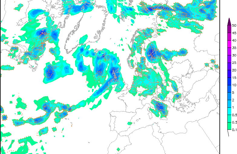
12Z GFS run just coming in. Here's Friday mornings rain; drizzle west Wales, western England with more persistent sometimes heavy rain west Scotland and Ireland. Drier central and eastern areas, suspect the rain shown here doesn't actually reach the ground.... Here's Friday afternoon, notice mostly dry England and most of Wales, but