

Seasonal forecasts covering the rest of summer and autumn are coming thick and fast now. The latest from the International Research Institute (IRI) has just been released. The precipitation anomaly charts for the months of June, July and August (below) highlight an equal probability of near average rainfall across the UK and
Month: May 2019
Video: Fast Forecast – Thursday to Monday

Video: Wednesdays Look Ahead – More on summer prospects

Video: 2 Week Planner (15/5/19)

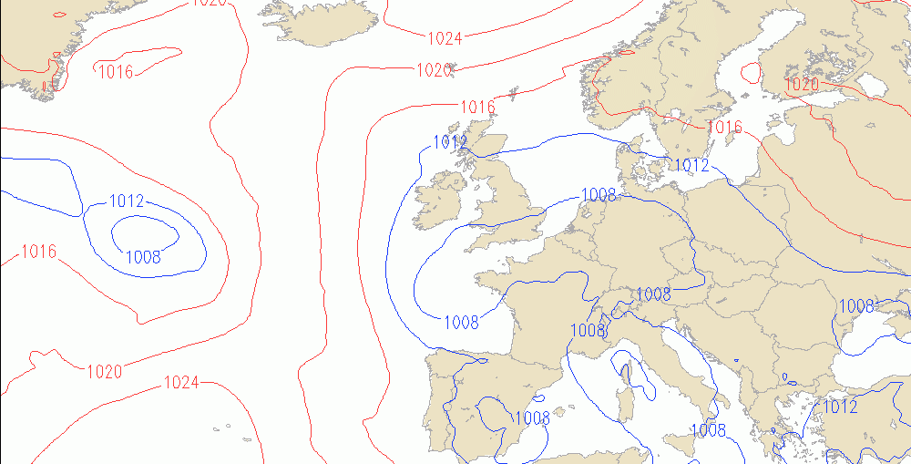
ECMWF 46-day to late June
Video: Fast Forecast – Wednesday to Sunday
Video: Tuesdays Look Ahead – Summer Forecast JMA Update
Cool weather returning next week?
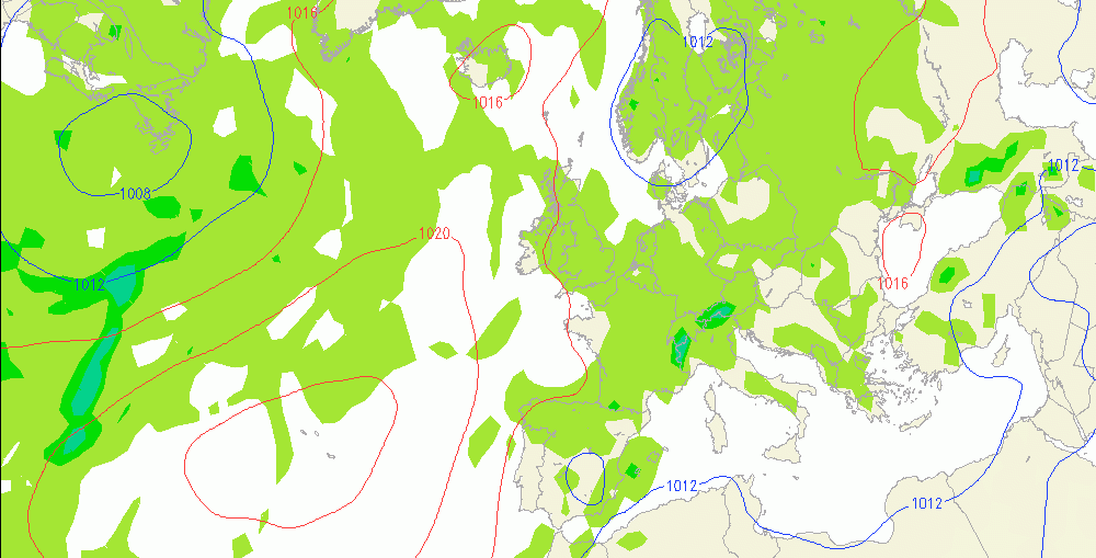
There are increasing signs of the flow turning more northerly again into next week. The chart below is the forecast from the GFS Ensemble model for Monday 27th May (Spring Bank Holiday). This would be putting a downward pressure on temperatures, especially in places exposed to the wind. Overnight temperatures could be
Tuesday’s High Temps Aided by the Foehn Effect
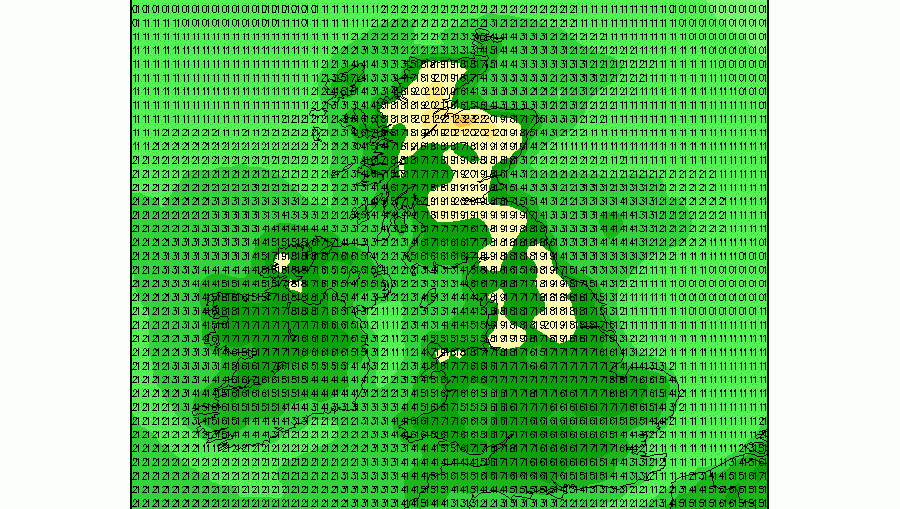
High temperatures on Tuesday look set to be nudged up in parts of northwest Wales and northeast Scotland by the Foehn Effect. Tuesday's highest temperatures of 21C or 22C are forecast over northeast Scotland; over northern Aberdeenshire, northern Moray and the northeast Highlands. The highest temperatures in Wales are forecast to
