
Year: 2025

Video: 2 Week Planner (13/8/25)

Video: Wednesday’s Rapid Update (13/8/2025)

Changeability Of Long-Range Forecasts
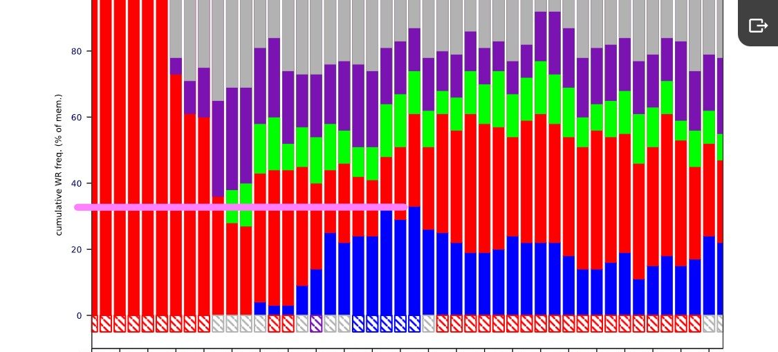
Video: Fast Forecast – Wednesday to Sunday

Video: Tuesday’s Look Ahead – ECMWF 6-Week Update

Video: Tuesday’s Rapid Update (12/8/2025)
Honing In On Thunderstorm Risk
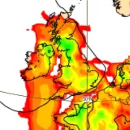
We've not been able to provide great certainty on the risk of thunderstorms this coming week - slack pressure and poorly-defined weather features makes this job quite challenging. However, we can take a look at the Convective Available Potential Energy (or "CAPE") charts to hone in on this probability. Below