All longer range forecasts right now comes with a huge 'hurricane' caveat! That's because as the Atlantic comes alive with hurricanes models are struggling day to day, let alone with what might happen in the coming weeks.
So, bear that in mind when reading below.
I'm still of the opinion that drier, warmer conditions developing through the middle to later stages of next week as the remains of Dorian pass north of the UK.
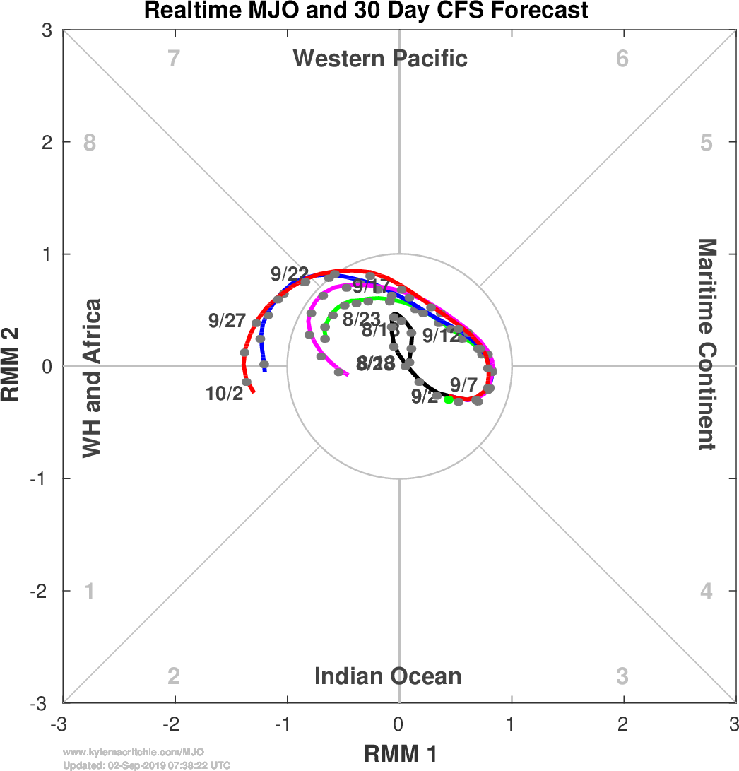
The MJO forecast (below) doesn't give us much of a steer in the early stages of the forecast, but it is then suggesting a breakout into Phase 8 from around 22nd September, then into Phase 1 around the 2nd October.
Phase 8 suggests a westerly flow with the threat of rain in northwest Scotland but still drier to the south.
Phase 1 then hints at wetter weather with lower pressure west of the UK. A ore southerly flow may mean warmer conditions, despite the rain which will be heaviest in the west.
So, time to be thinking of a wetter end to September?