I've mentioned in today's Look Ahead video the prospect of some significant rain next week and into the following week.
For now it's only the ECMWF which really picks up mon the prospects of higher rainfall totals, largely due to the proximity of an upper trough; other models keep the system further south.
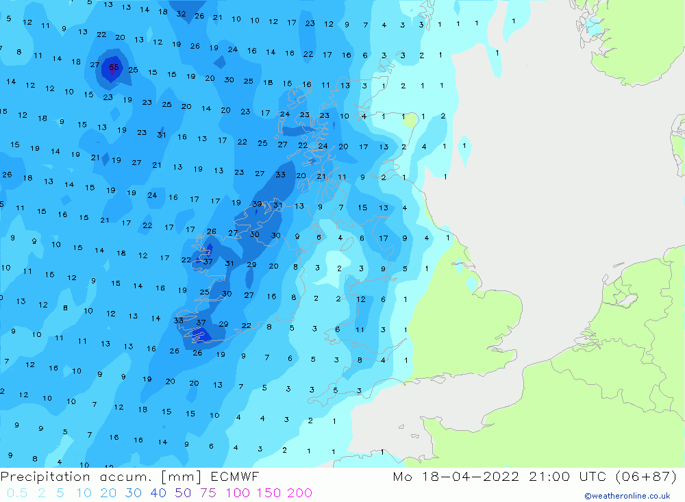
Here's forecast rainfall to 10pm Monday 18th April...not showing much, although 30mm of rain between now and then in Ireland ...
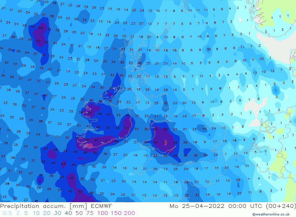
Now here's total rainfall from the midnight run of the ECMWF to the ed of the day on Sunday 24th April.
Look at those totals across Wales and much of Ireland, we're looking at 60mm+ in some locations, and that would be enough to start causing some water-logging and some local flooding.
Even most of eastern England sees 20mm.
It's early days, but this is something we are monitoring nd will keep you updated.