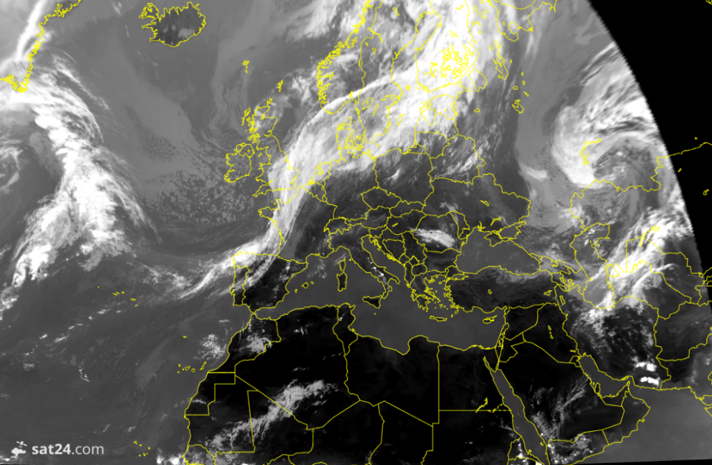
Frontal systems will continue to drift through from the Atlantic over the next week.
Our changeable spell will be ongoing through this week, the weekend and into next week as west-southwesterly wind patterns prevail and a chain of frontal systems drift in from the Atlantic.
Most of the prolonged rainfall will be over hills toward the north and west of Britain and Ireland, with smaller amounts spilling southeastwards.
The longevity of rain depends on how the fronts behave and what stage of their life-cycle they are at - are they still developing, or weakening?
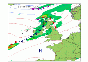
This chart is a pretty text book 'warm sector' scenario - where mild southwesterly air moves into Britain and southern Ireland on southwesterly winds. The fronts are reaching the mature phase of their existence, forming an occlusion north of Scotland which then becomes the later stage of their atmospheric process.
The more persistent rain is up near the centre of the low to the north, but a steady feed of drizzly rain will move onto western hills. A heavier conveyor belt of rain is then associated with the cold front which moves across Ireland, which will then become enhanced again over west-facing hills of Britain to give heavier falls.
Notice then a feature on the bottom left of the map, where the cold front becomes warm again - this suggests a 'frontal wave' is forming which slows down its progress and can re-energise the system - essentially there is a new battle of warm and cold air beginning the process of frontal development again over the Atlantic. This warm-cold clash is the engine-room for these mid-latitude systems.
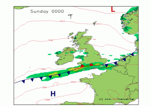 Frontal waves can be very fiddly for models to predict a few days ahead, since they can develop in very subtle ways, and sometimes form fully into a much more organised system. Small perturbations in the atmospheric flow can nudge warmer and colder air in different directions and generate a more active feature.
By the time this wave feature rolls across southern Britain by Saturday night, it may well pep up another steadier or heavier fall of rain again here. If the wave develops more, it could even drift back further north and bring rain more extensively and last longer into Sunday for more of the country. If it develops less, the cold front could just weaken and clear through with barely a whimper toward the south of Britain.
Take a look at the satellite image (courtesy of Sat24.com) from Tuesday this week. It shows us where a frontal system was draped over northern Europe - a wriggling wave which formed along a cold front, giving a sustained fall of rain over southern England. Something similar is possible over this weekend, so it's one to watch.