The ECMWF 46-day model looks to be back on track and so we can now, again, have confidence in its output. Of course, it's still a long range model so one should be careful, but it is good to see little change from model run to run.
Here are the latest ideas from the ECMWF 46-day...
5th June to 12th June
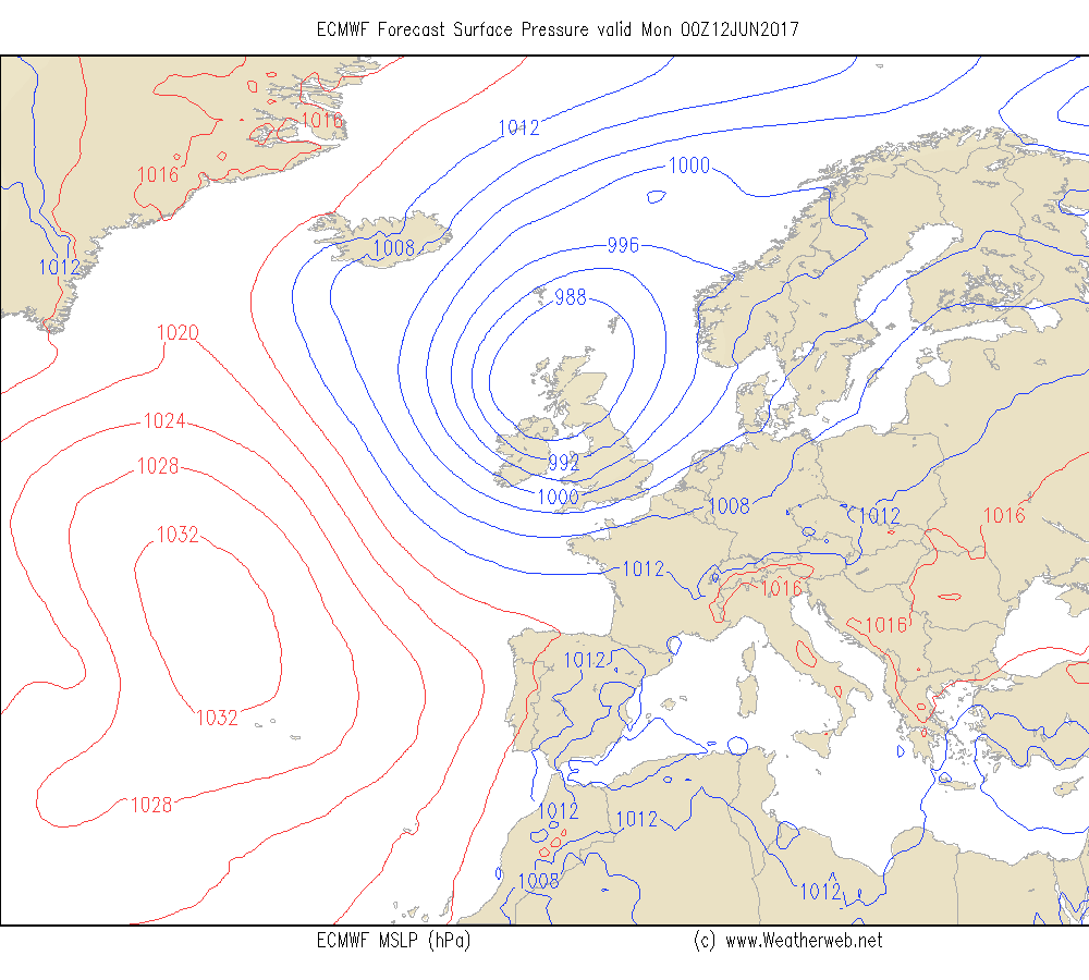
Low pressure to the west of Scotland with a west to southwest jet established over the UK.
Heights are lower than average with a trough over the west of the UK and Ireland.
This leads to an unsettled week. Low pressure areas may travel along the jet and affect the UK and Ireland (see the chart below for next Saturday).
Periods of rain throughout the week and windy at times too.
Temperatures near to above average.
13th June to 19th June
Little overall change in the flow in the first part of the week, although there are signs of heights building to the east later. This would lead to a rise in pressure in the east of the UK, although pressure remains low west of Ireland.
It is likely to be unsettled at first with further rain. Drier weather will be reaching the southeast of England first of all, then this dry weather spreading north and westwards.
Becoming warm or even very warm with the winds coming from the south or southeast.
More western parts of the UK and Ireland may see thundery rain, but this should fade during the week as the drier, warmer weather spread west.
20th June to 26th June
Heights building across the UK and Ireland this week. This may promote an area of high pressure and if so it will be a dry and warm or very warm week.
Little change is expected as the week progresses.
Just need to watch for fronts brushing through northwest Scotland bringing cloud and outbreaks of rain here.
27th June to 3rd July
High pressure stays over the UK and Ireland this week.
The heights remain above average, and although the ridge is weak it is expected that conditions will be dry with good spells of sunshine.
Remaining warm or very warm.
4th July to 10th July
The heights stay above average although the flow becomes more westerly.
That could suggest that the high gets squeezed off the south with more of a ridge here. Staying generally dry in more southern areas with sunny spells, although watch for drizzle in the west.
Further north and west there is an increased risk of cloud and periods of rain, especially in the west. Possibly breezy in Scotland, western and northern parts of Ireland and northwest England.
11th July to 17th July
High pressure may try to build back over the UK and Ireland this week.
Dry weather is going to be dominant if the high builds and it will be very warm too.
Western Ireland and western Scotland may see rain and some drizzle.
So overall here is much dry weather showing for mid to late June and early July, as well as becoming warm or very warm. Watch for a break into the early to mid period of July although rain is likely to be mostly affecting northern and western Scotland.