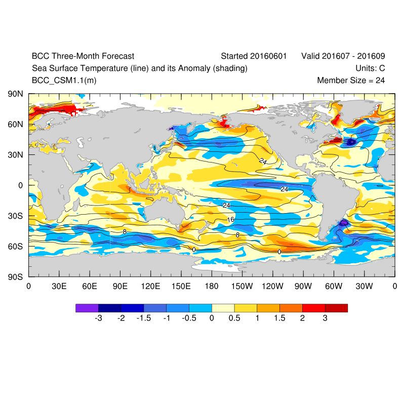
'The Atlantic Blob', that tea of cold water in the northwest Atlantic is something which is front and centre of my mind right now.
See below how the CFS is predicting the blob to still be in evidence through July, August and September with water around the UK being closer to average, although a little hit and miss with colder water in the North Sea.
The colder water in the Atlantic could lend itself towards higher pressure, although nearer average temperatures for the UK and Ireland may indicate lower pressure being closer by here.
The lack of pointers in the sea temperatures close to our shores again indicates the possibility of distinct periods of drier and wetter weather, similar to what we have seen in June. However, I do still think July may be a more unsettled month.
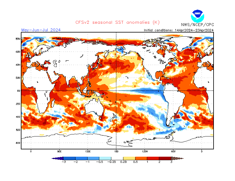
The Chinese model for the same period is more definite about the blob, and less so on the cooler water in the North Sea. This model leans towards a more mixed UK during the forecast period with the warm water around the UK and Ireland indicating enhanced convection, and hence more rain or showers.