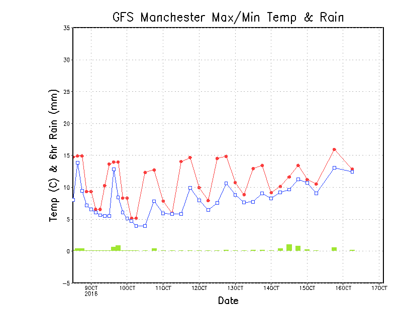
Temperatures are going to be slipping away this week, and with the added effect of the wind it is certainly going to be feeling cold.
The forecast temperature graph for Manchester this week shows those cold temperatures.
But with high pressure over Scandinavia, and well and truly established as a blocking high, is this a foretaste of this winters pattern?
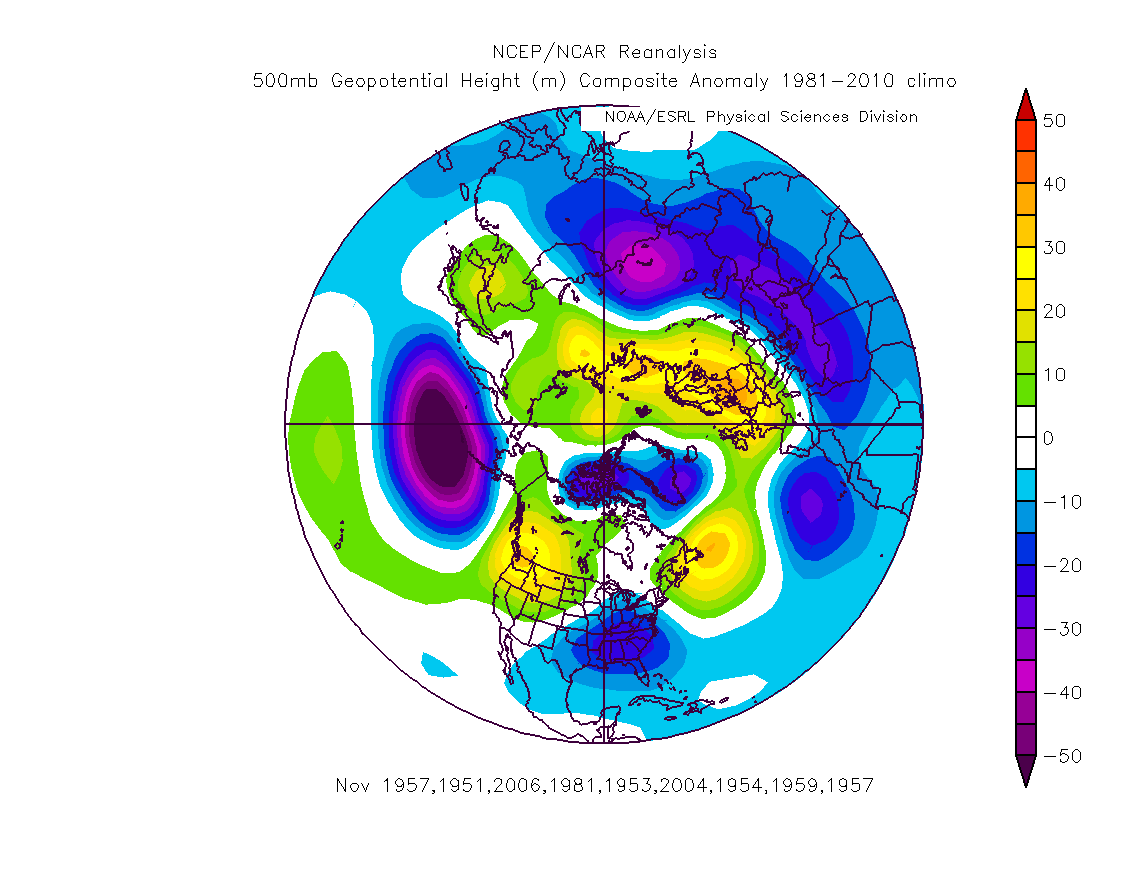
Well, remember I showed the analogue below earlier this week based on output from the GFS ensemble. This was for those Octobers which match our analogues and it shows high pressure west and east, the UK in a col. This suggests high pressure dominant at some point in the month, giving way to low pressure at other times (basically how we think this month will pan out.
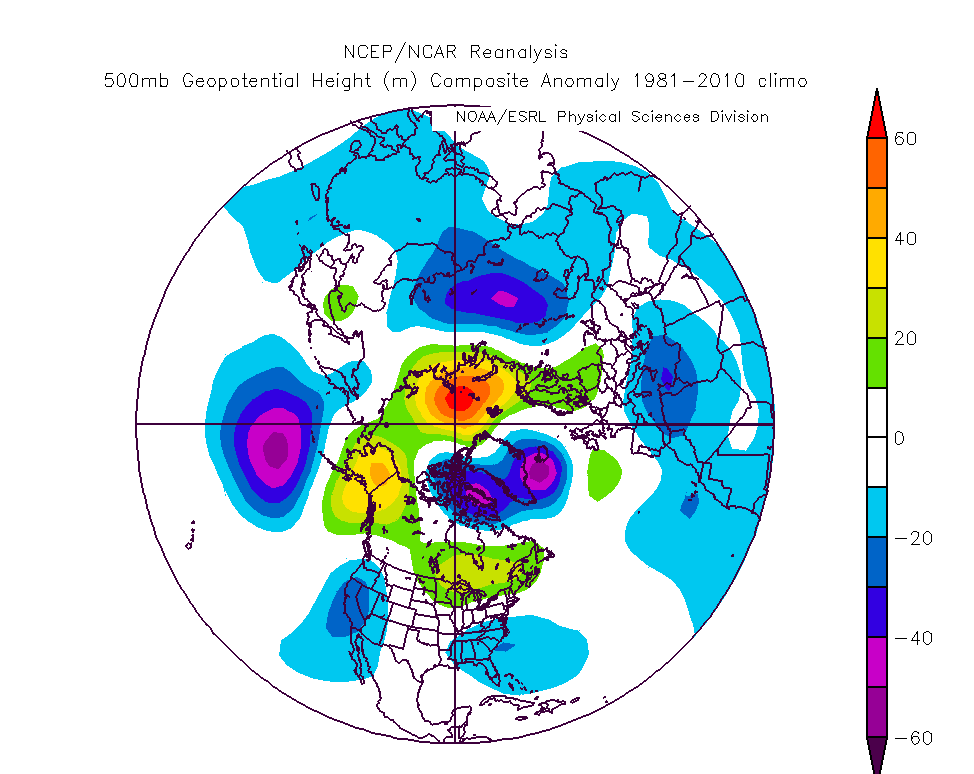
Now look at November (below) for the same years. High pressure is really dominant in those years, and shows signs of the easterly too.
So, perhaps it's not going to be that unusual to find high pressure moe in evidence than usual at the start of this winter (well, late autumn actually). And that could mean colder than we are predicting.
But of course, much can and usually does change, it's just fascinating to talk through the possibilities.