
It's that time of the week again when the ECMWF 6-Week model is released into the world.
As we are heading into spring and the weather patterns of the northern hemisphere begin to switch into summer mode, it's always interesting to see how the longer range models handle things.
Here's the last though to the end of March ...
20th February to 26th February
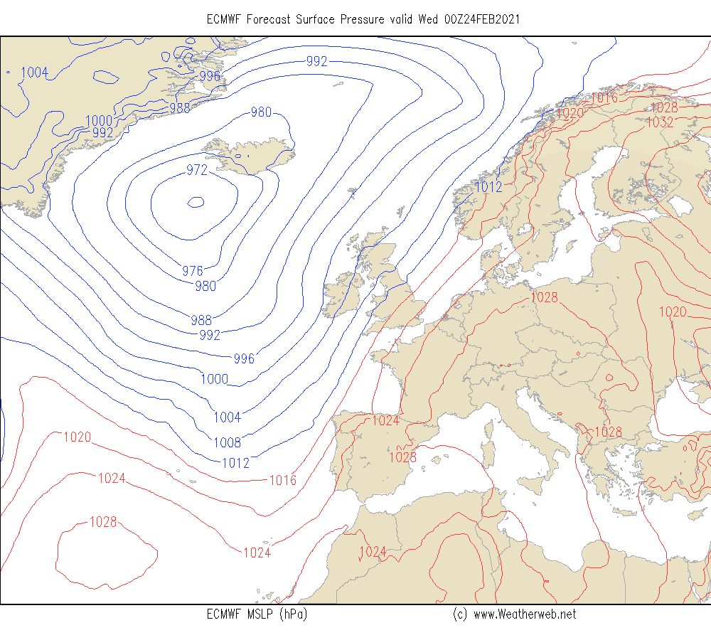
Large ridge to east.
Trough to the west (see chart below).
Drier conditions in the east, mild or very mild at times here.
Most rain to the west, some windy days.
Hints of things turning drier later in the week as pressure builds.
27th February to 5th March
High drifts west to be over or close to northern Scotland.
Flow becoming more southeast and then perhaps easterly.
Dry overall, best sunshine in west.
Could be some low cloud affecting eastern coasts on some days.
Starting mild but becoming less mild as wind turns to the east.
6th March to 12th March
High remains to northwest of Scotland.
Trough to the east.
Further trough to the south.
Low risk of some rain or showers over far south of England.
May be showers eastern England and Scotland.
Drier and brighter west.
Risk of overnight frost in any clearer skies.
13th March to 19th March
Trough drifts closer to Southern Ireland and southwest UK.
Ridge remains to north.
Easterly flow over UK and Ireland, feeling cool.
Showers or rain in the south, risk of sleet on hills?
Probably drier to the north, risk of frost Scotland and northern England.
Could be breezy southern UK and southern Ireland.
20th March to 26th March
Pressure starts to build to south again.
Trough to northwest.
More usual west to southwest flow established.
Mixed conditions, most rain northern Scotland.
Drier to far south.
Milder for all.
27th March to 2nd April
Westerly flow.
Mixed conditions.
Most rain north and west.
Drier east and south although rain risk here too.
**ends**
