
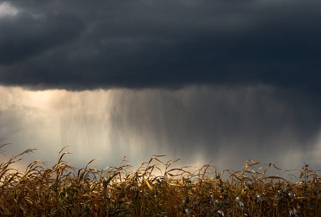
The unsettled weather continues today and rainfall is likely quite widespread across the British Isles. I've clipped three charts to show the total forecast rainfall for today. These charts are the 6-hour rainfall totals up to the valid forecast time (6 am, noon, and 6pm, respectively). Over the 18 hours from
Musings
June dry, what are the chances?
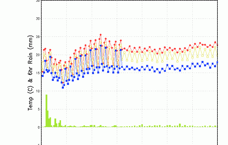
You will have seen in the Look Ahead that the ECMWF is strongly in favour of a drier, warmer second-half of June. However, first glance at the GFS EBS 35-day suggests that a trough remains over the British Isles, having briefly collapsed, giving more mixed conditions throughout the month. The meteogram below
ECMWF 6-Week Outlook to mid-July

The latest 6-week forecast from the ECMWF takes us into the middle of July, which will be, at least meteorologically speaking, mid-summer. The current unsettled weather is probably not what will be the dominant feature of the month ahead. Here's the latest ... 8th June to 14th June High pressure builds into the south
‘Godzilla El Niño’????? Give me strength!!!!!

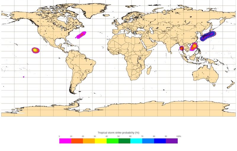
Hurricane Season 2026 Is Here!
Rainfall this week, welcome relief
5 week ahead weather things to know

June Gloom
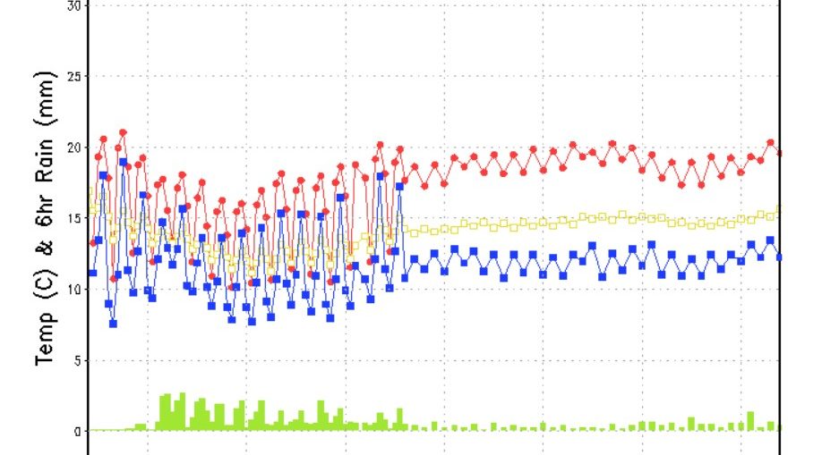
A wetter week to come

June 2026 – Final Guidance

+++ THIS FORECAST IS FOR PRIVATE CLIENTS ONLY AND MAY NOT BE DISTRIBUTED OR COPIED IN ANY WAY WITHOUT PRIOR PERMISSION. +++ JUNE 2026 - GUIDANCE ==================== Issued: Friday 29th May 2026 Contact: simon@weatherweb.net HEADLINES ========== + Unsettled, cool start + Drier from mid-month + Fine and dry second half FACTORS AFFECTING JUNE 2026 GUIDANCE ==================================== + High pressure over and north