

Good day all, The upcoming week is shaping up to be notably unsettled, with Atlantic systems lining up to bring frequent spells of rain and blustery conditions. Western areas will bear the brunt once again, particularly western Scotland, Ireland, and parts of western England and Wales, where persistent rainfall could lead
Musings
5 things for the weekend weather

Weekend Weather Overview 🌦️ Changeable conditions with a mix of sunny spells and frequent passing showers 🌬️ Blustery winds at times, making it feel brisk and quite exposed in open areas 🌧️ Bands of heavier rain moving through during parts of Saturday 🌤️ Brighter interludes developing between systems, especially further
March 2026 Preliminary Weather Guidance

+++ THIS FORECAST IS FOR PRIVATE CLIENTS ONLY AND MAY NOT BE DISTRIBUTED OR COPIED IN ANY WAY WITHOUT PRIOR PERMISSION. +++ MARCH 2026 - INITIAL GUIDANCE ================================== Issued: Thursday 19th February 2026 Contact: simon@weatherweb.net HEADLINES ========== + A wet start, near average temperatures + Soon settling, driest into mid-month + Near average temperatures, milder south + Unsettled late month, cool
A two week window in March?
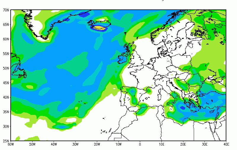
Spring and summer early analogue updated thoughts

5 Week Ahead Weather Things To Know

Snow Highlights Upland Areas
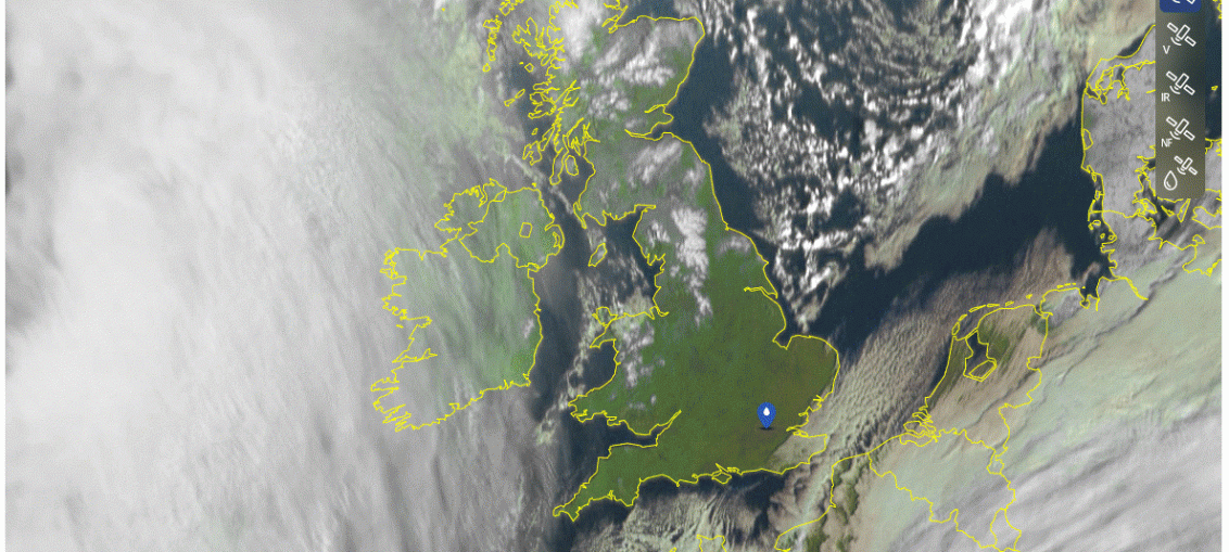
High pressure possibly next week

Good day all, Over the past few days, one particular scenario has been gradually gaining ground in the model guidance — the potential development of a high-pressure system during the final ten days of February. If this pattern does establish itself, we could be looking at a spell of dry, bright conditions
5 things for the weekend weather

🌤️ Bright but cold start on Saturday, with crisp winter sunshine for many 🌧️💨 Rain and strengthening winds arriving in the west later Saturday, turning heavy at times 🌨️ Snow mixing in across central and northern areas, briefly even to low levels 🌬️🌦️ Blustery showers developing on Sunday afternoon,
