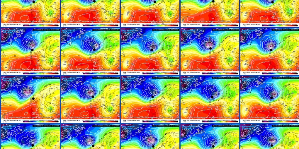
🌥️ Mostly settled: High pressure keeps conditions generally dry across much of the British Isles.. ☁️ Cloudier north & west: More cloud and occasional light rain for Scotland, Ireland, and western areas. 🌤️ Brighter east & south: Longer sunny spells developing across England, especially the southeast. 🌬️ Light winds overall: Breezy in the
Musings
When High Pressure Brings Cloud
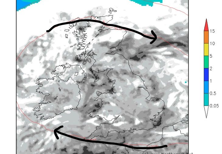
High Pressure Builds But The Northwest Stays Drizzly
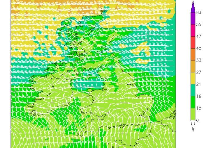
High pressure is slowly approaching the British Isles from the southwest - many will see a gradually improving picture with winds easing and sunshine breaking out. However, northwestern areas, particularly the northwest of Scotland, will struggle to clear the cloud and rain until late in the week. The wind flow
Back to the dry weather of summer?
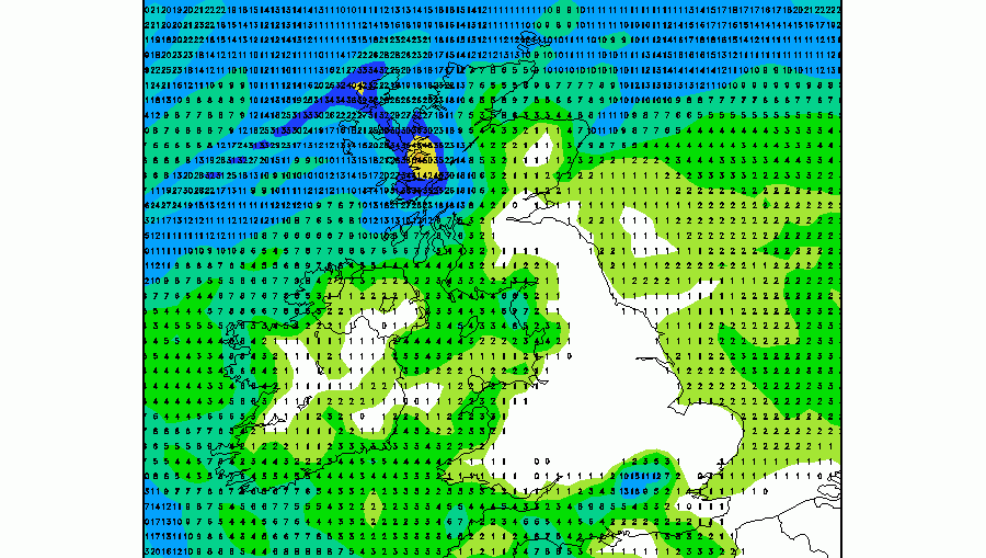
Forecast total rainfall for the next couple of weeks is certainly making it look like the dry weather has returned. The familiar pattern of the anticyclone building and then becoming a 'fixture' over the British Isles is reminiscent of those long, hot days of summer. Below is the latest forecast rainfall for
5 Week Ahead Weather Things To Know

Satellite Imagery Of Storm Amy
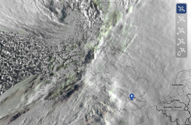
One of my favorite tools available for analysing weather is satellite imagery, the visible spectrum in particular. This morning, an excellent image of Storm Amy was available from just before sunset on Friday when the storm was really revving its engine; see below (image clipped from Sat24.com): A sharp boundary is
Precipitation Anomaly

5 things for the weekend

☁️ Storm Amy clears – The storm will move away early on Saturday, but its effects linger with unsettled weather. 🌧️ Showers on and off – Scattered showers continue through the weekend, heavier in the north and west. 💨 Still breezy – Winds ease compared to Friday, but blustery conditions remain, especially