

Hello all, So as per weather forecast, the next 4 days will see plenty of rain in some areas, mostly in the form of heavy showers, with a risk of thunder. At the below graph you can see the total rainfall amounts starting from today until later on Tuesday. As you can
Musings
5 things for the weekend weather

🌧️ Persistent wet and unsettled conditions with heavy, sometimes thundery rain spreading across much of Britain. ⛅ Periods of brighter spells and occasional sunshine breaking through the cloud cover. 🌡️ Temperatures mostly mild, ranging from 17°C in the north and west up to 24°C in the southeast. 💨 Winds
Recent Rain Hasn’t Done Much To Moisten Soil

I recently discovered a great resource called COSMOS-UK, a network of soil moisture monitoring stations. Basic soil moisture data is available in near-real time and I was curious how the recent rains have affected soil moisture. The below image is the daily soil wetness status (corrected for soil type) for
Chance Of Thunderstorms This Weekend?

How Much Rain Yesterday, And Where Was It?

5 week ahead weather things to know
1 - Thundery north Monday: Whilst many places see another dry day, there's downpours for northern regions today, focused around the Scottish Borders, Northumberland and into central Scotland and the Highlands this afternoon, some torrential downpours. 2 - Rain more widely Tuesday: A useful widespread fall of heavy rain across central
Cooling Temperatures, but only briefly
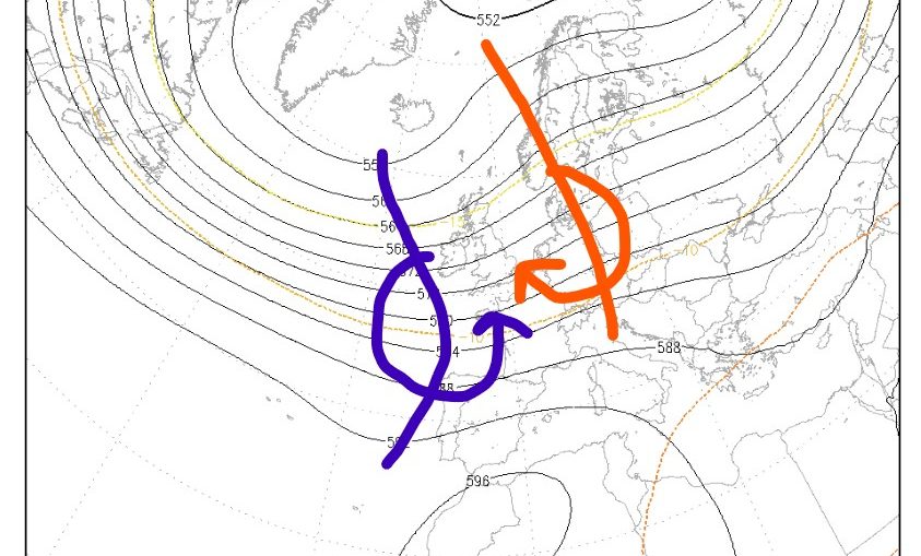
Warm Soils
5 things for the weekend weather

A hot day arrives

Good day all, Well high pressure arrived from the southwest and it will bring quite high temperatures for most parts away from the northwest, with highest values expected over central and southern England, eastern Scotland and southern Ireland. Below you can check the today's maximum temperatures. Thank you Filotas