Month: February 2016

Friday and Saturday hill snow
I wrote a few days ago about how messy things were going to become, and it's certainly true of Friday and Saturday. Weak troughs, low pressure, air not quite cold enough to produce anything significant, except her high ground, and the hills of northern England and Scotland are all in the
ECMWF tries to keep us in the game
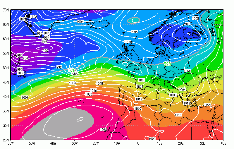
Look at the previous post about diminishing risk of sleet and snow in south UK Friday and Saturday, but then look at the ECMWF. It's gripping on by its finger nails. Still most likely high ground, another month earlier and we may have lost enough temperature to do something. So close yet
Evidence for sleet or snow Friday and Saturday slipping away
Video: Fast Forecast – Wednesday to Friday

Video: Tuesdays Look Ahead – Weekend troubles and beyond
Weaker Friday snow signal, how about Saturday?
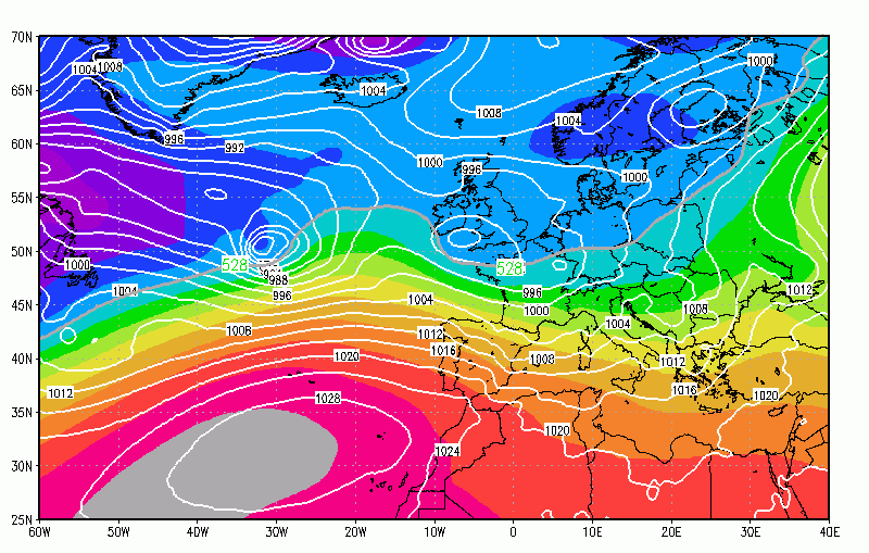
Highlighting the uncertainty that exists right now, there's weaker signal for snow on Friday in this mornings models, but of course we are still a long way out. The Canadian holds firm with the low idea... But even this is warmer at 850mb... Compare to ECMWF, not this one is 12-hours earlier... But is
An example of a super-model battle for March
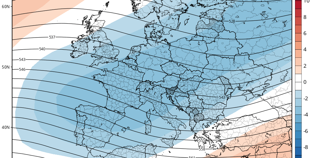
The CANSIPS March 500mb height anomalies ... The CFS March 500mb anomalies ... Take your pick from those two. The Canadian sends shivers down your spine, whilst the CFS wants us to break out the buckets and spades (well, not quite). Still going with the cool, mostly westerly March ideas. Probably wet in