You are here
Home > 2016 > May (Page 4)

ECMWF extended thoughts to early July

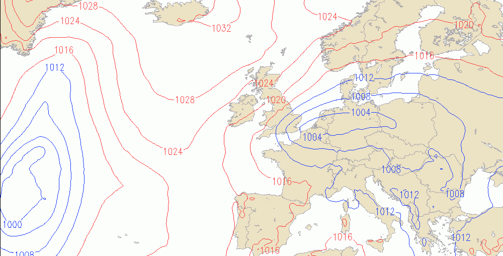
The latest ECMWF 46-day forecast has been released. You know I can't show the charts here, but I can certainly described where it's going with the forecast. 25th May to 30th May See the ridge and higher than average heights to the north, a trough centred to the south of Ireland with

An update on Wednesdays rain risk & rest of week
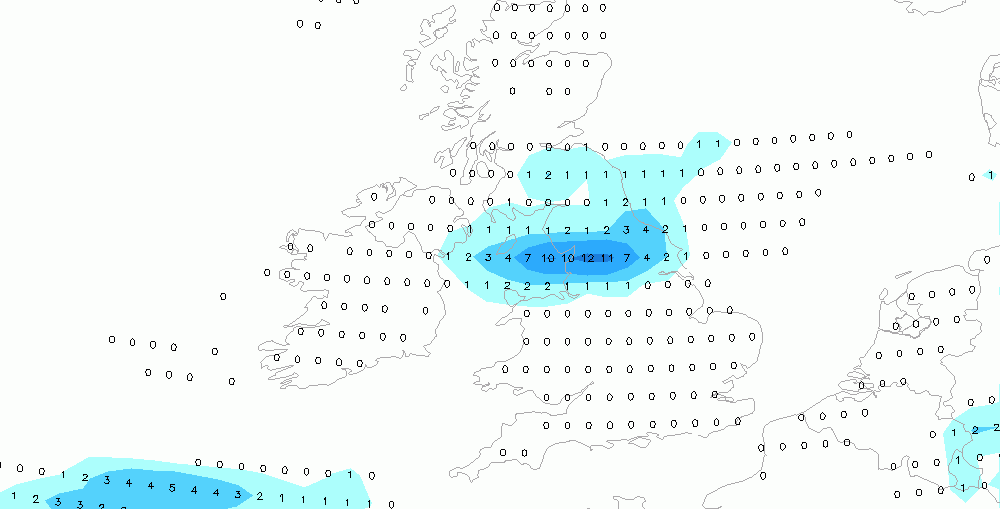
I know for many of you (farmers!) the weather this week is super critical as you get first cut silage underway. Overnight models have focused the rain across northern England during Wednesday. Latest ideas are the rain arrives across northeastern coasts in the morning, and then slips across northern England and the
Beware next weeks lows

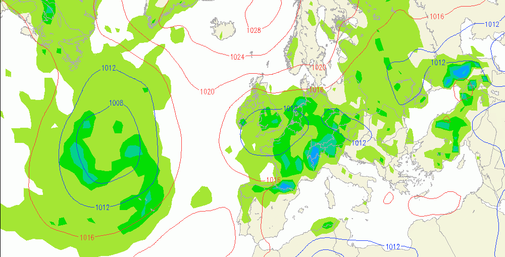
Just a quick heads up on the threat of rain early next week. Models will struggle with the details of low pressure, but we do think there's a fair chance of low pressure drifting north from France, into the south of the UK during the early part of the week. If this

Making the most of Tuesday

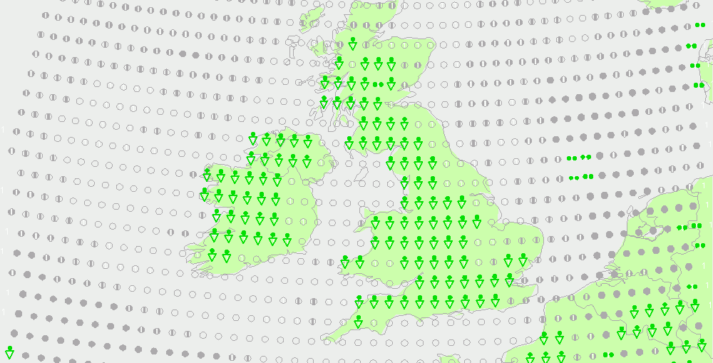
Tuesday looks to be a generally dry day over most of the country. The forecast chart below hints at the areas that are most likely to see showers in the afternoon. The green triangles showing where the highest risk is, generally in more western and southern areas. These are expected to be

5 Weather Week Things to Know

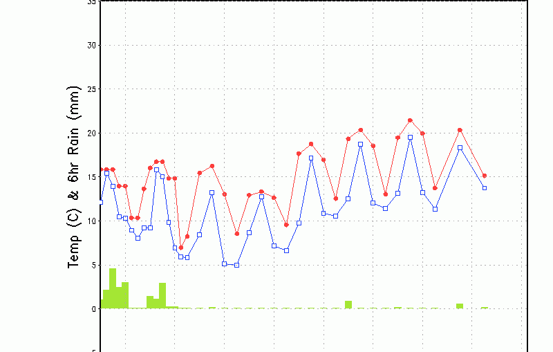
It's a new week and one which, overall, shouldn't be too bad for most of us although tending to turn cloudier with an increase in cloud and rain risk. Temperatures tending to pick up and turn muggier later as the 7-day temperature graph below shows. Here are the 5 Weather Things You

Top