
Month: July 2016

Video: 2 Week Planner (20/7/16)

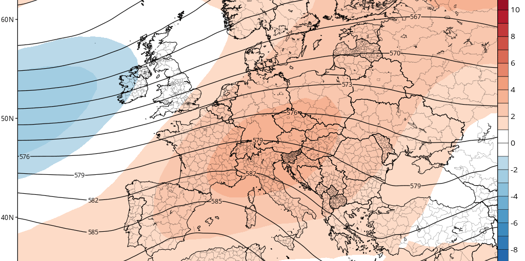
ECMWF 46-Day through end August
Tuesday night/Wednesday rain & thundery latest
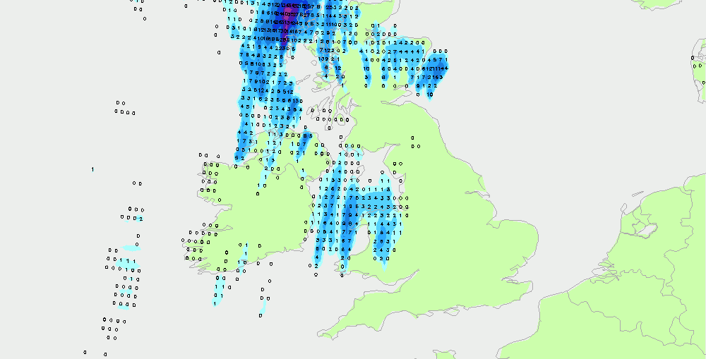
Midday models as follows ... Hi-res UK Met Office suggest thundery rain Wales, parts northwest England, Scotland and Northern Ireland between 1am and 4am... Then focus on NW England, east Ireland, west Scotland 4am to 7am ... Possibly heavy NW Wales, NW England and southern Scotland 7am to 10am ... Focus then across northern
Video: Fast Forecast – Wednesday to Sunday

Video: Tuesdays Look Ahead – Unsettled again next week?
Wednesdays thunderstorms best not to mess with
Tonights and Wednesdays predicted thunderstorms do look set to be on their way, but as always with summer storms it is going to be a messy old process. Here's the forecast total rainfall from the GFS to 7pm Wednesday. I think it's not a bad representation of where things might end up. Notice
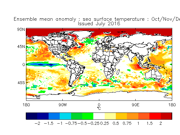
Late autumn/early winter Atlantic impacts on Europe
Video: Fast Forecast – Tuesday to Weekend

Tuesday night/Wednesday thundery rain latest
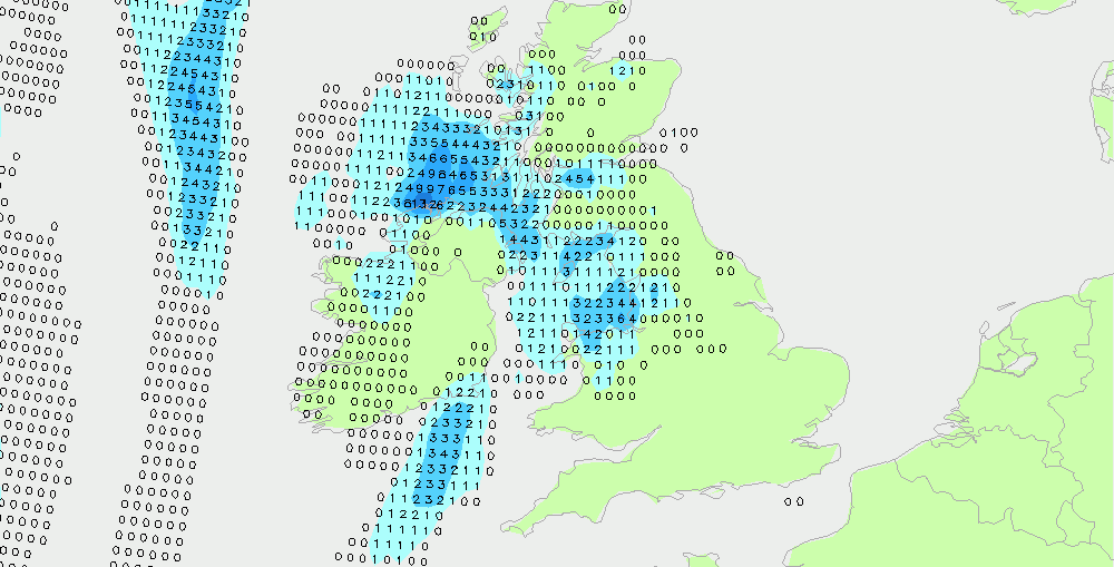
Midday GFS just in, here's what it says for the thundery rain ahead. Tuesday evening, 7pm to 10pm....thundery showers north & West Wales, NW England, west Scotland... Tuesday evening 10pm to 1am Wednesday morning ... thundery showers/rain northern England, parts of western Midlands, southwest Scotland, Irish Sea, west Ireland... Wednesday morning 1am to