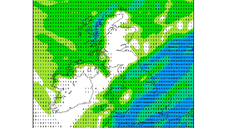
🌤️ Plenty of dry weather, with sunny spells across much of the UK. ☀️ Western areas look brightest, with some lengthy spells of sunshine. 🌦️ Eastern coasts could catch showers, becoming more likely on Sunday. 🧣 A distinctly autumnal feel, especially in coastal breezes and after sunset. 🌫️ Chilly mornings may bring local mist,
Musings
Very mild to cold
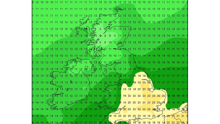
We are in a particularly mild spell currently but this is not set to last. In fact from Friday temperatures are expected to turn much cooler. Daytime maximum temperatures are forecast to drop back by 6-9C in some places across southeast England. See below GFS ensemble temperature maps showing how the
The effects from an ex hurricane

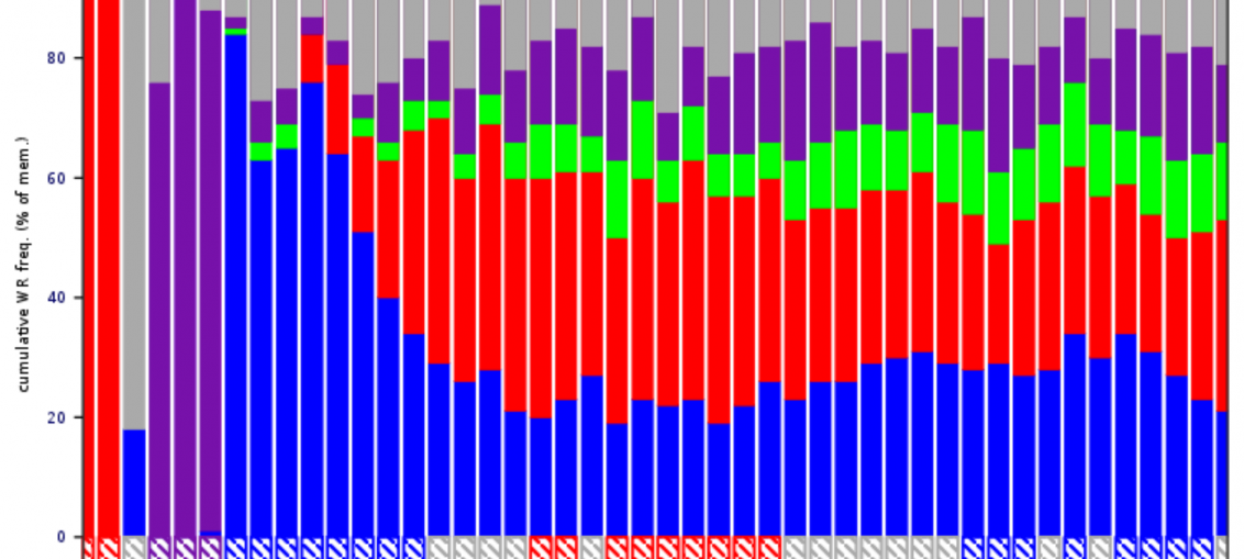
Pressure & Confidence? High & High!

5 Week Ahead Weather things to know

The week ahead will be a mixed one. Here are 5 things you should know. Monday will see cloudy and patchy rain move from west to east, clearing to brighter spells developing behind. Tuesday will see heavier, more persistent rain clear south-eastwards through the country with sunny spells developing behind.
Rainfall Update ahead

Hello all, The latest ECMWF rainfall outlook suggests that a relatively dry weather pattern could remain in place across much of the British Isles over the next couple of weeks. Both charts indicate rainfall totals generally staying below the seasonal average across the UK and Ireland, although there are some interesting
5 things for the weekend weather

🌦️ Saturday brings sunshine and passing showers, with the most frequent and occasionally heavier showers across northern and western areas. 💨 A blustery breeze gives Saturday a fresh autumn feel, especially along exposed coasts and over higher ground. 🌤️ Sunday looks calmer for much of Britain, with lighter winds and longer opportunities