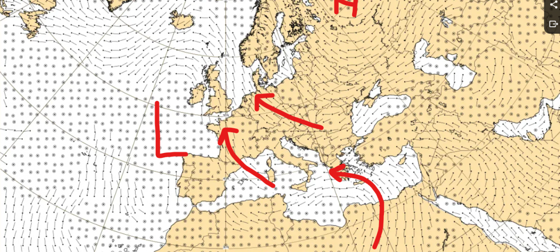
It's always a dangerous game talking about the weather from 6 weeks out, but I can't help but be excited by this one. Below, I've pasted the ECMWF week-average forecast wind field for 5th October to 12th October. These are the winds at 850hPa, or approximately at the height of
Musings
August Rain Round-Up
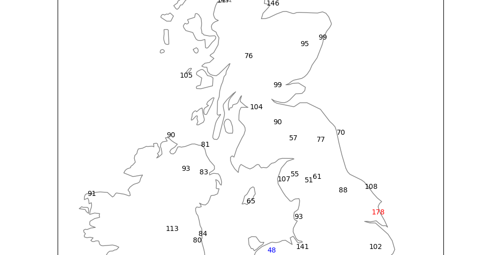
How did August rainfall stack up against the historical average? Certainly more rain than July, but we're still below average in many places. The image below is the percent of average rainfall chart for August, relative to the August average for 1991-2020: Certainly better than July (where in parts of England, no
Rainfall totals this week
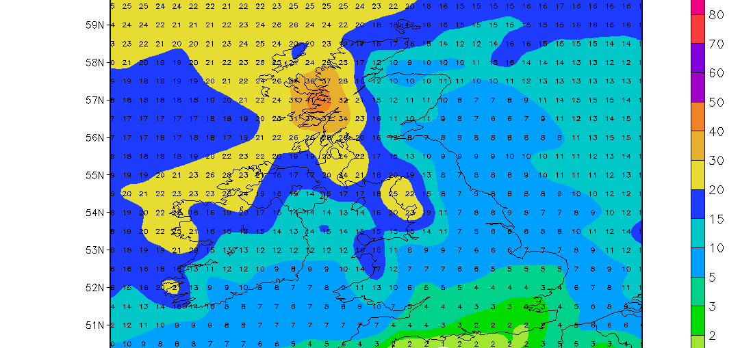
5 week ahead weather things to know

September 2026 – Weather Guidance

+++ THIS FORECAST IS FOR PRIVATE CLIENTS ONLY AND MAY NOT BE DISTRIBUTED OR COPIED IN ANY WAY WITHOUT PRIOR PERMISSION. +++ SEPTEMBER 2026 - WEATHER GUIDANCE ================================== Issued: Sunday 30th August 2026 Contact: simon@weatherweb.net HEADLINES ========== + Mixed to start, mainly north + Warmer south and east + Cooler for all from mid month, few showers FACTORS AFFECTING SEPTEMBER
Greece Trapped in a Cycle of Heat, Humidity and Drought

While our main focus is usually on the weather across the UK and Ireland, it is worth looking further southeast, where a very different and increasingly concerning weather story is unfolding. Greece remains locked into a prolonged period of heat, high humidity and exceptionally dry conditions. Temperatures continue to remain above
5 things for the weekend
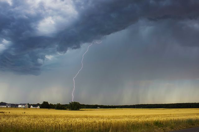
🌦️ Low pressure will keep the weekend changeable, with a mixture of rain, showers and occasional brighter intervals. 🌧️ Saturday will see a band of rain spreading northeastwards across Ireland and the UK, becoming heavy in places. 💨 Winds will strengthen at times, particularly around southern and western coasts and over exposed