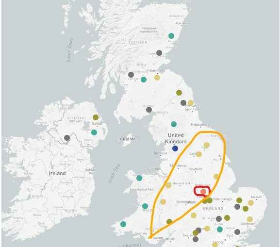
🌧️ Low pressure system with heavy rain in places on Saturday 💨 Risk of gales in exposed western and northern areas. 🌤️ Some brighter intervals, mainly further northwest. 💨 Northerly winds bring a cooler, fresher feel Sunday. 🌦️ Showery conditions, easing with drier spells later on.
Musings
Weekend Cool-Down
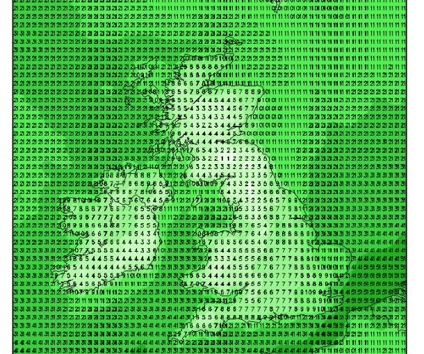
With a northerly flow establishing over the weekend and into next week, cold air is on its way for the foreseeable future. See below for the forecast temperatures for Monday early morning from the GFS model. Widespread single digit temperatures except along coastlines and East Anglia. Most of Wales, northern England,
Thoughts on next week’s colder weather …
Notes on the weather of 15th September 1940, Battle of Britain
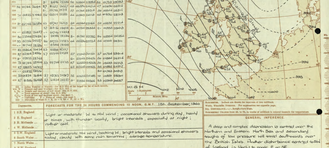
Monday 15th September is Battle of Britain day when 'The Few' faced their greatest challenge. A Polar maritime northwesterly airmass covers the British isles. This airmass brings sunny spells and showers, some heavy; probably bright skies with lots of sunshine between the white cumulus and cumulonimbus cloud. Polar maritime air is also associated
5 week ahead weather things to know

1 - Still unsettled: There's no shift in the general pattern this week, we're still dominated by unsettled southwesterlies and frontal systems coming through. No immediate shift to benign September weather, though some drier and brighter moments will occur. 2 - Wettest west: Wales, southwest England, Cumbria, southwest Scotland and more
Sunday’s rain story updated
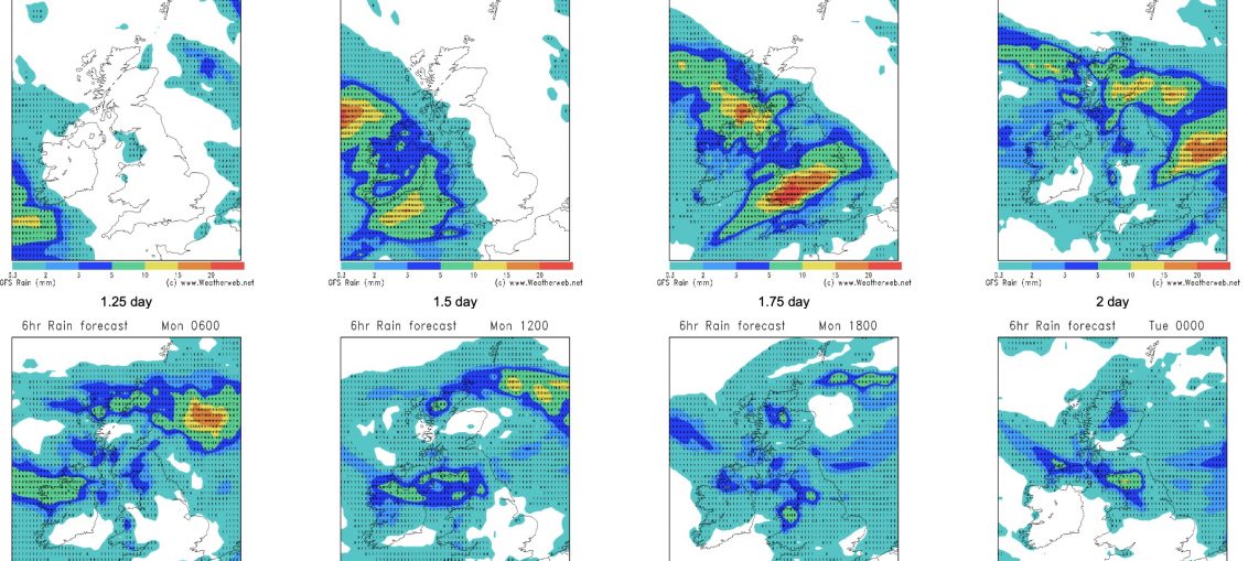
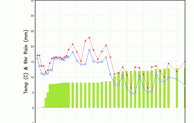
Interesting to see how today's frontal system gets 'stripped' by (mostly) high ground as it crosses the British Isles. These are the 6-hour rainfall forecast (see the full size chart here) and notice the heavy rain passing through Northern Ireland, Wales, the Midlands and parts of northeast England this afternoon, but
Rainfall levels

Good day all! Well we are experiencing a fairly unsettled weather, with plenty of blustery showers, perhaps thundery with hail. Most of the rainfall totals are to be expected over the western parts, with the east seeing much less. These conditions will continue through the next week too. During the very week
5 things for the weekend!

☁️ Mixed skies: A blend of cloudy spells and brighter intervals across the weekend.🌦️ Frequent showers: Western areas see the bulk of showers, some heavy and blustery.⛈️ Local risks: Occasional thunder and hail possible in the heavier bursts.🌬️ Windy at times: Stronger gusts near coasts, especially during passing rain bands.🌡️